|
|
|
|
|
|
| Distance : 4 miles | Grading : ++ | OS Sheet : 190 |
![]()
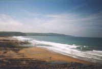
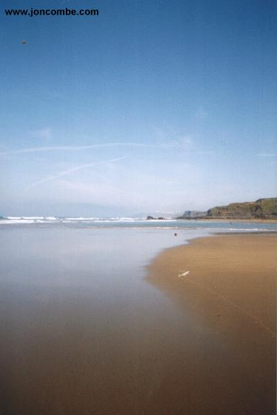
This is a fairly easy walk with good views of the coast around. There are many superb beaches on this walk, with Sandy Mouth, Crooklets, Sandymouth and Widemouth Bay beaches all holding Seaside Awards. The town of Bude is a popular holiday centre, particularly with surfers. This walk takes a high path along the cliff the whole way into Widemouth Bay, adjacent to the road for much of the walk.
![]()
Bude is just off the main A39 road in North Cornwall, which runs from Barnstaple and joins the A30 at Indian Queens. The A3090 and A3072 connect with the A30 at Okehampton which joins the M5 at Exeter.
There are several bus services to Bude, the most frequent service is the X9 Atlantic Coast Express service from Exeter, Okehampton and Holsworthy to Bude. Service X8 also runs from Plymouth, Saltash, Callington and Launceston to Bude, running once every two hours, Monday - Saturday. Other buses run from Callington, Hartland, Morwenstow, Wainhouse Corner, Wadebridge, Delabole, Boscastle and Tintagel. For more details, see the link below.
There is a good range of accommodation in Bude, including self catering. The choice is more limited at Widemouth Bay.
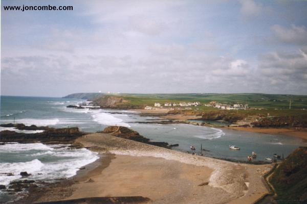
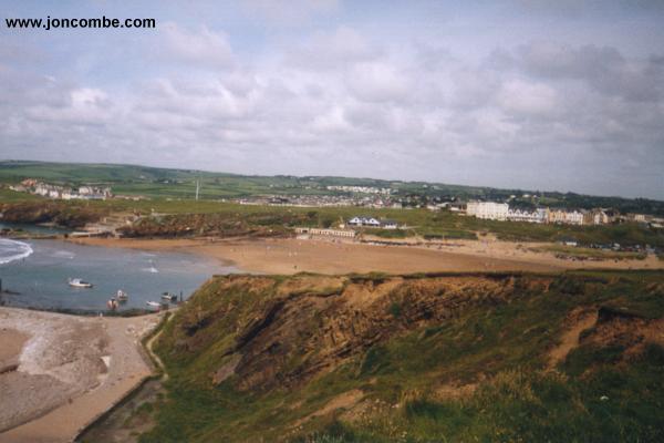
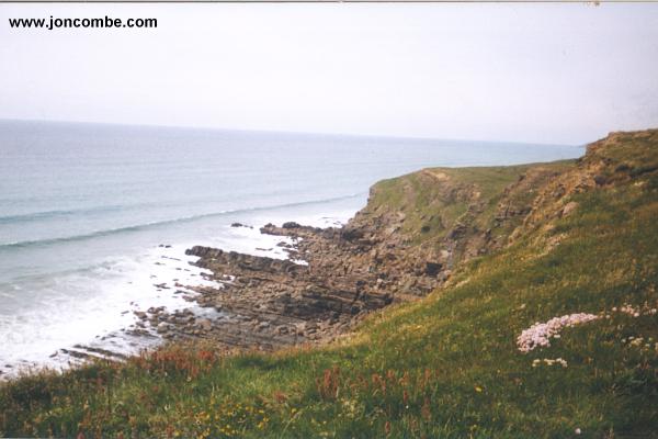
This walk starts in Bude town centre, by the canal. Bude has good facilities and some superb beaches. From the town centre, head to Summerleaze Beach, and cross the old canal via the a bridge at the lock gate. Note that this does flood at high tide, so you may need to cross further back at high tide. From here the path climbs to Compass Point. 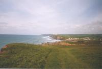 There is a map and a small tower on the cliff top at Compass Point. The path continues along the grassy cliff top to Efford Beacon. There are excellent views of the town and beach from here, and the COMSAT station north of Bude is also visible. After Efford Beacon the path stays fairly flat.
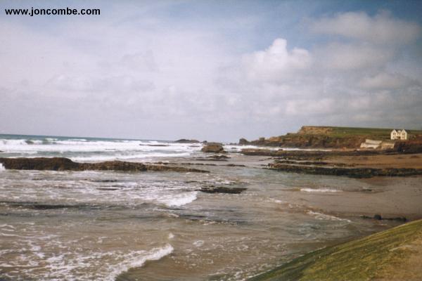
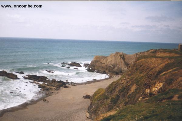
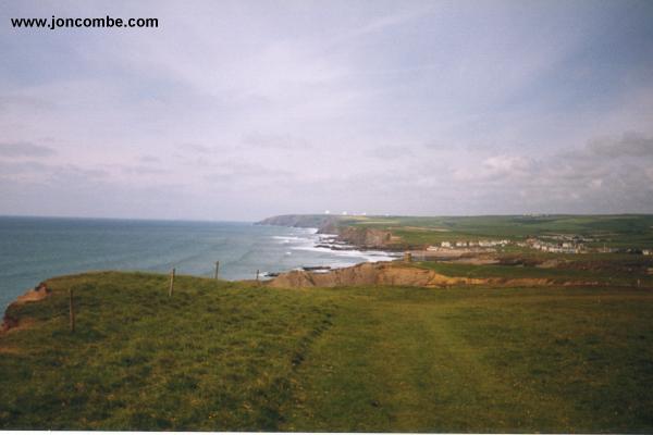
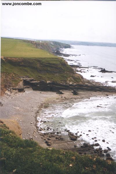
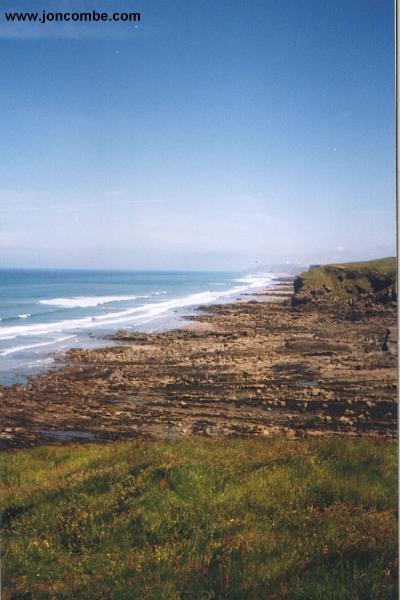
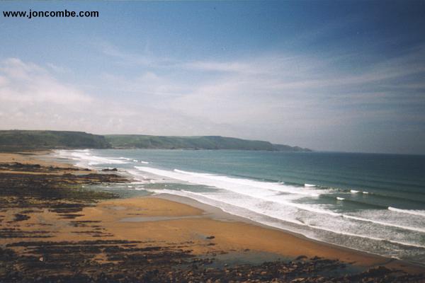
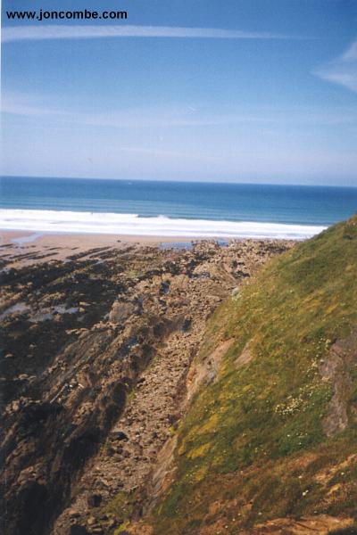
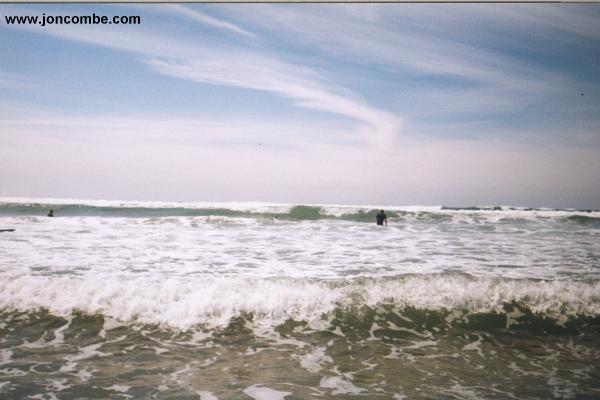
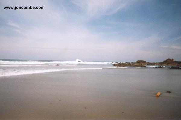
The path is soon adjacent with the road at Upton, this continues all the way into Widemouth Bay. The path passes Phillips Point, Higher Longbeak and Lower Longbeak before arriving at Widemouth Bay. The beaches between Bude and Widemouth Bay are sandy at low tide, but are otherwise mostly shingle and rock. The view from the cliff top before the descent into the beach is excellent. The beach is very popular with surfers and has a Seaside Award. Lifeguards are on duty during the summer months, and there are toilets and refreshments available in Widemouth. The beach is unusual for this part of the coast, having low sandstone cliffs.
There are several local buses between Widemouth Bay and Bude, although they are not especially frequent, so do check first. You could also use the journey planner on the Traveline South West page. For more information call 01208 79898 or see the link below. Alternatively as the walk is quite short it is not too far to walk back again.
Here are some photos of the walk, in roughly the correct order. Click a picture for a larger version and description.
|
|
|
|
|
|
|
|
|
|
|
|
|
Ordnance Survey Landranger map 190 covers this area of the coast path and is available from most book shops nationwide. It is also stocked at the Tourist Information centre in Bude.
![]() Multimap is a web site which provides maps of the UK. The links below will be of most use to the coast path from Bude to Widemouth Bay. These maps join to provide the complete coast path between Bude and Widemouth Bay.
Multimap is a web site which provides maps of the UK. The links below will be of most use to the coast path from Bude to Widemouth Bay. These maps join to provide the complete coast path between Bude and Widemouth Bay.